Манай Хуудсанд Тавтай Морилно Уу
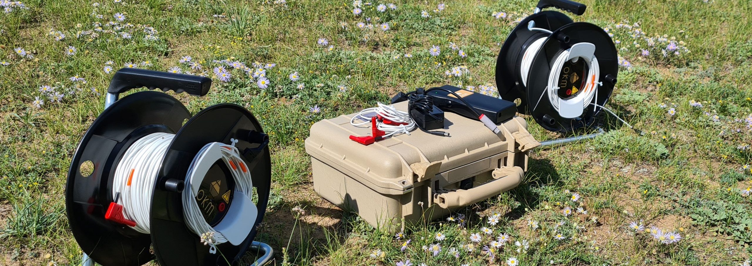
Геофизикийн хайгуул, судалгаа, тоон өгөгдөл боловсруулах, загварчлалын ажлуудад геологи, уул уурхайн салбараар дэлхийд тэргүүлэгч улс орнуудын ашигладаг орчин үеийн багаж, тоног төхөөрөмж болон программ хангамжийг ашиглан үйлчилгээ үзүүлдэг.